|
|
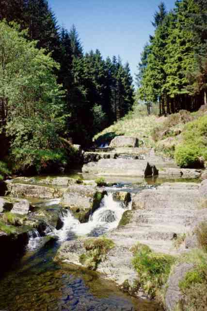
The top left photograph illustrates a waterfall, a common features of the upper course of rivers. This has been caused by a more resistant band of rock, eroding more slowly. The gradient is now steeper than nearer summit. Turbulent flow is predominant in this environment. The volume of the water in the channel can increase rapidly during rain storm events due to rapid surface run-off and an impermeable geology. Deforestation of upland areas periodically (by the Forestry Commission), can increase amplify the flood risk further downstream as the trees are no longer present to intercept the rainfall. |
|
In the right hand photograph, the two concrete structures have an exact cross-sectional area with sensors to record the speed and the height of the water. This is called a 'flume gauging station' and is maintained by the Institute of Hydrology. In order to managing flood events, accurate records of the discharge of the river are needed. Gauging stations are important management features to monitor channel flow characteristics. This enables prediction of recurrence levels and early warning of potential flooding downstream. It takes approximately two days for rainstorm water (produced during a low pressure system from the Atlantic Ocean) falling on the summit of Plynlimon to reach the middle and lower course of the River Severn. Preparing for a flood event is therefore possible in the catchment towns such as Worcester and Tewkesbury. |
|

